



Est. 2009 · Eastern Appalachian Land Trust

This Land
Stays.

We map threatened woodlands, negotiate conservation easements, and put shovels in the hands of people who want their grandchildren to know what a red oak canopy sounds like.

47,200 acres protected312 easements signed8,400 volunteer hours
Scroll
0
Acres Protected
0
Easements Signed
0
Counties Covered
0+
Volunteer Hours
Aerial topographic map showing forested parcels and creek drainages in Eastern Kentucky
Parcels at risk · 2026
Whitley Hollow
Greasy Creek Headwaters
Trace Fork Ridge
Turkey Branch Corridor
At risk
Protected
Whitley Hollow
Morgan Co. · 340 ac.
Pending subdivision
Greasy Creek Headwaters
Breathitt Co. · 210 ac.
Timber lease expiring
Trace Fork Ridge
Knott Co. · 185 ac.
Estate in probate
1.2M
acres unprotected<br/>in our region
Chapter One

The Woodlands Are
Disappearing Quietly.

There's no dramatic announcement when a woodland goes. A property changes hands. An estate gets divided. A timber company renews a lease. A developer files a preliminary plat. Each event is legal, routine, and individually unremarkable — until the canopy is gone and the creek runs brown every time it rains.

In our eight-county region, 1.2 million acres of privately held forest have no long-term protection. Most of those landowners aren't indifferent — they simply haven't been given a clear path to doing something about it.

"I knew I didn't want to sell to a developer. I just didn't know there was another option."

— Della Combs, landowner, Wolfe County

Learn about conservation easements
Chapter II
Chapter Two

A Promise the Land
Can Hold You To.

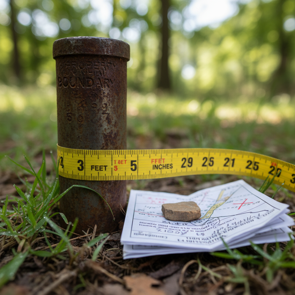
A conservation easement is a legal agreement between a landowner and a land trust. You keep the deed, you keep the taxes, you keep the right to walk your own property at dusk. What you give up — permanently, in writing, recorded at the courthouse — is the right to develop it.

Think of it like a covenant you write into the land itself. Future owners inherit it. Future developers can't erase it. Your grandchildren don't have to fight the same battle you're trying to prevent.

Most landowners who sign easements also qualify for a federal income tax deduction based on the difference between the land's development value and its conserved value. For a 200-acre parcel, that difference is often substantial.

What an easement covers
Restricts: Timber harvesting
Restricts: Subdivision & development
Restricts: Mining operations
Preserves: Agricultural use (limited)
Preserves: Hunting & fishing rights
Preserves: Family ownership continues
See what this looks like for your land
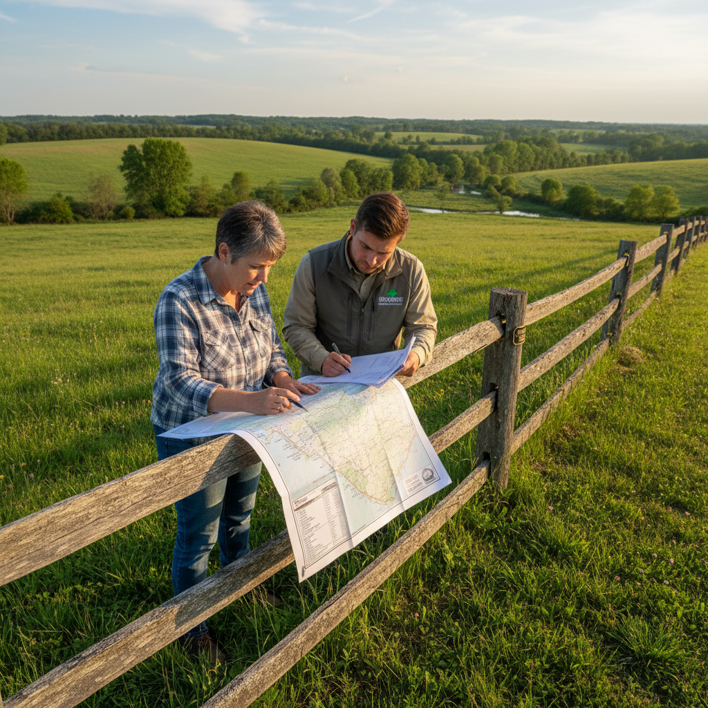
Landowner and Steward representative reviewing conservation easement documents at a fence line in rural Kentucky

"It felt like finally having a plan."

— Marcus Holbrook, 440 acres, Elliott County

312
easements<br/>completed
Deed of Easement

Recorded permanently at the county courthouse

Chapter III
Chapter Three

Twenty Years.
A Forest Returns.

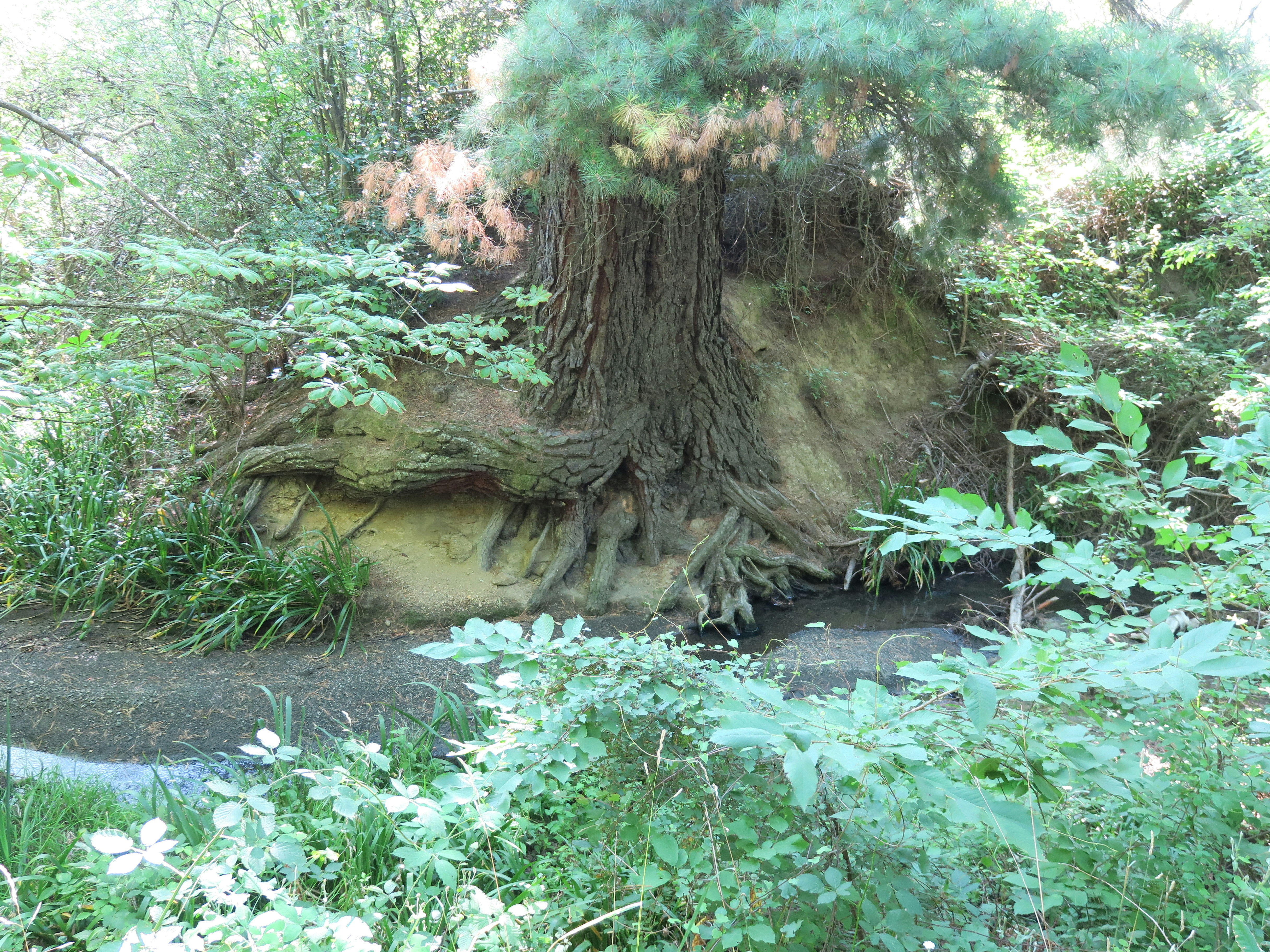
Planting a native hardwood is an act of faith across decades. The species that return don't arrive all at once — they follow a succession as reliable as a calendar, each wave creating conditions for the next.

Based on documented regrowth data from 14 Steward-protected creek corridors, 2009–2025.

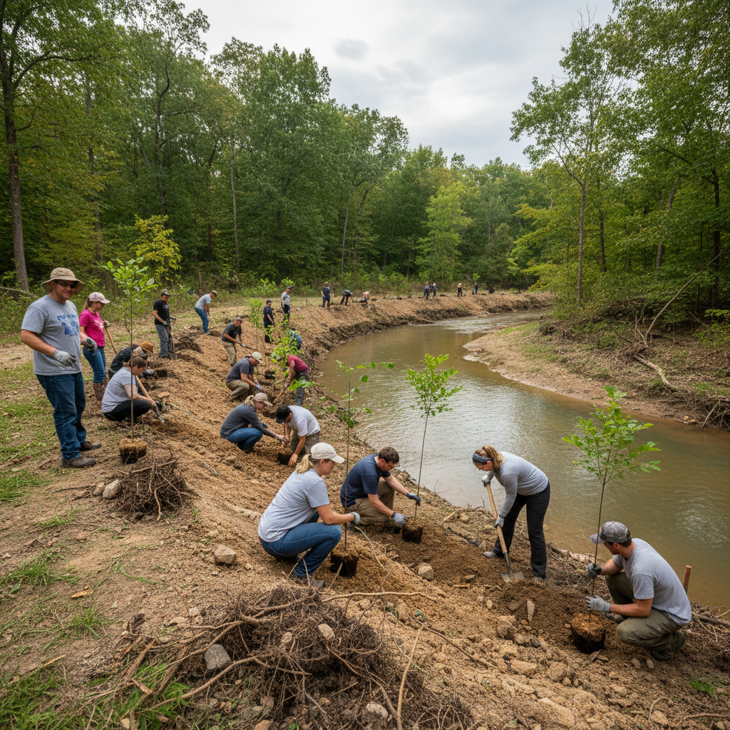
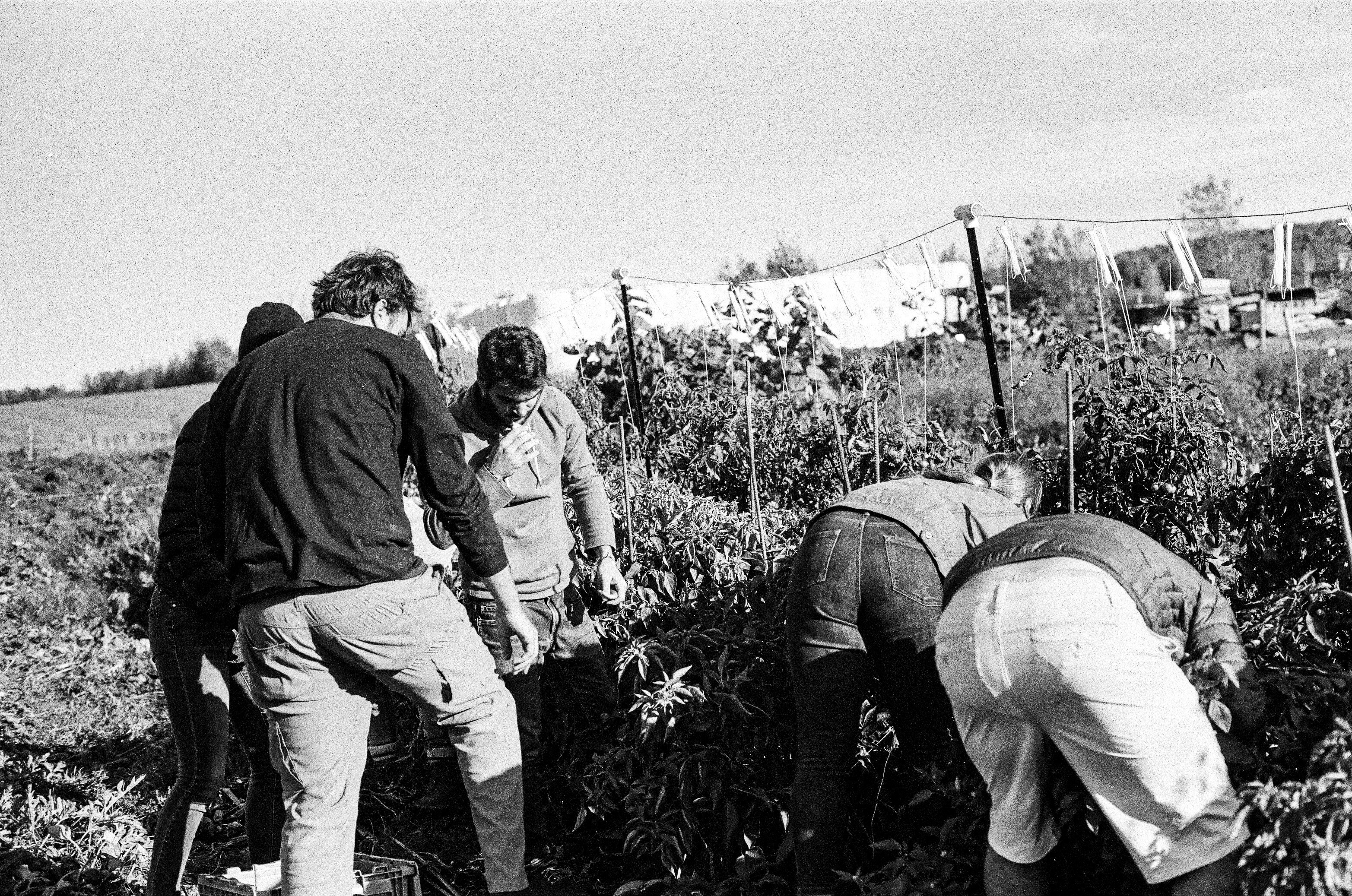
Volunteers planting native red oak and tulip poplar saplings along an eroding creek bank in Eastern Kentucky

"My kids planted six trees last April. They ask about them every time we drive past."

— Priya Nair, weekend volunteer, Lexington

Mar15
Turkey Branch Corridor Planting
Wolfe County · 7:30 AM · 40 spots remaining
Family-friendlyTools providedNative species
Reserve Your Spot
Ready to look closer?

Every parcel has a story.
Yours might be one worth protecting.

Enter your address or parcel number to see a free conservation assessment — what's at risk, what's possible, and what landowners near you have already protected.

What landowners say

The decision that changes
what the land means.

"I'd been putting off dealing with what happens to the farm after I'm gone for fifteen years. Steward made it feel like a conversation, not a transaction."

Portrait of Carolyn Watts, Landowner, 280 acres from Bath County
Carolyn Watts
Landowner, 280 acres · Bath County
Easement signed 2022

"Our neighborhood association was fighting a rezoning and losing. Steward showed us the conservation easement path — the developer walked away because the numbers changed."

Portrait of James Okafor, Neighborhood Association President from Powell County
James Okafor
Neighborhood Association President · Powell County
64 acres protected, 2023

"My daughter is eight. She helped plant twenty trees last spring. She already talks about them like old friends. That's worth more to me than anything."

Portrait of Sunita Reddy, Weekend volunteer from Fayette County
Sunita Reddy
Weekend volunteer · Fayette County
Volunteer since 2021
Accredited by and working with
Land Trust AllianceUSDA Natural Resources Conservation ServiceKentucky Heritage Land Conservation FundThe Nature Conservancy
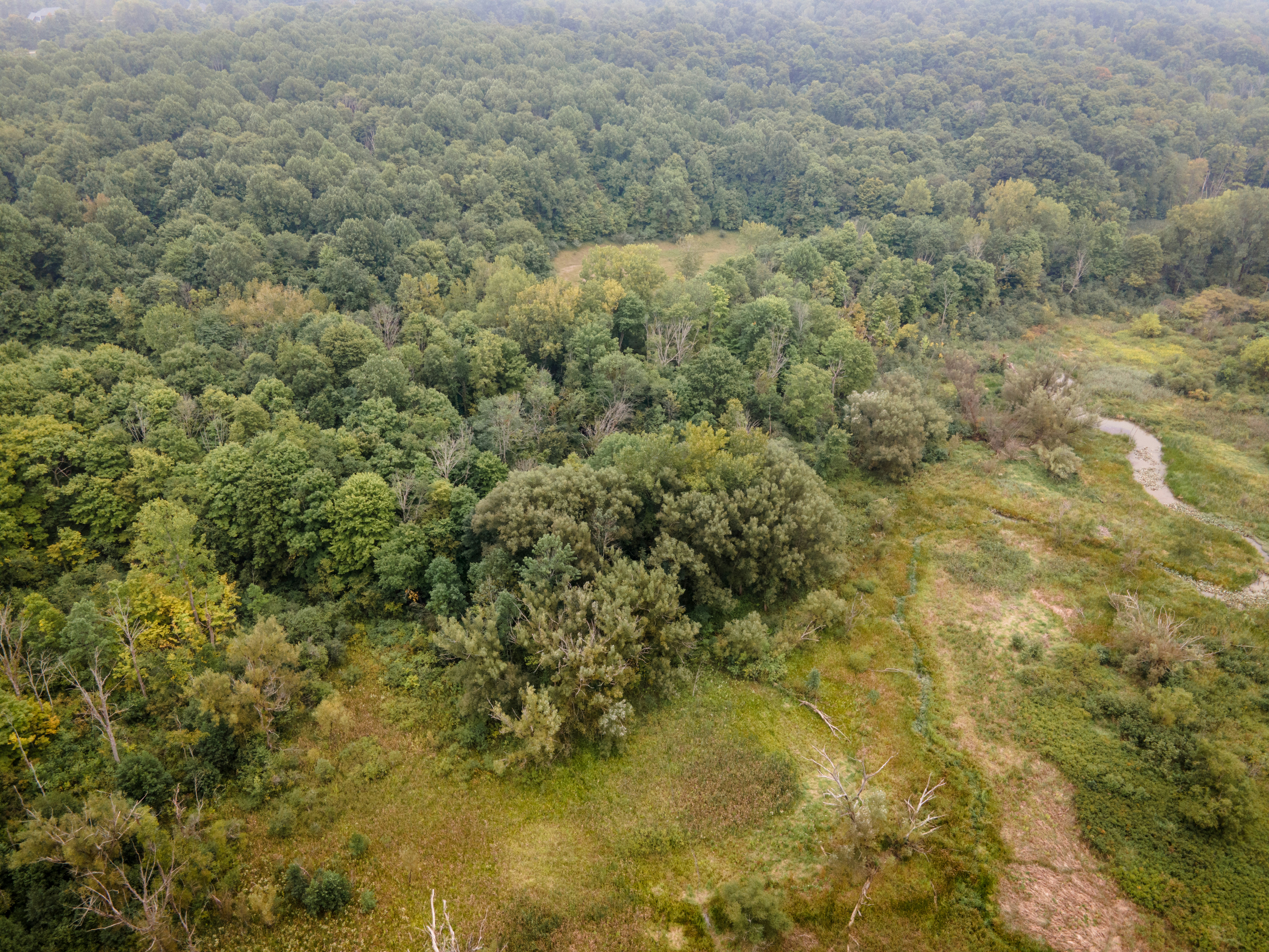
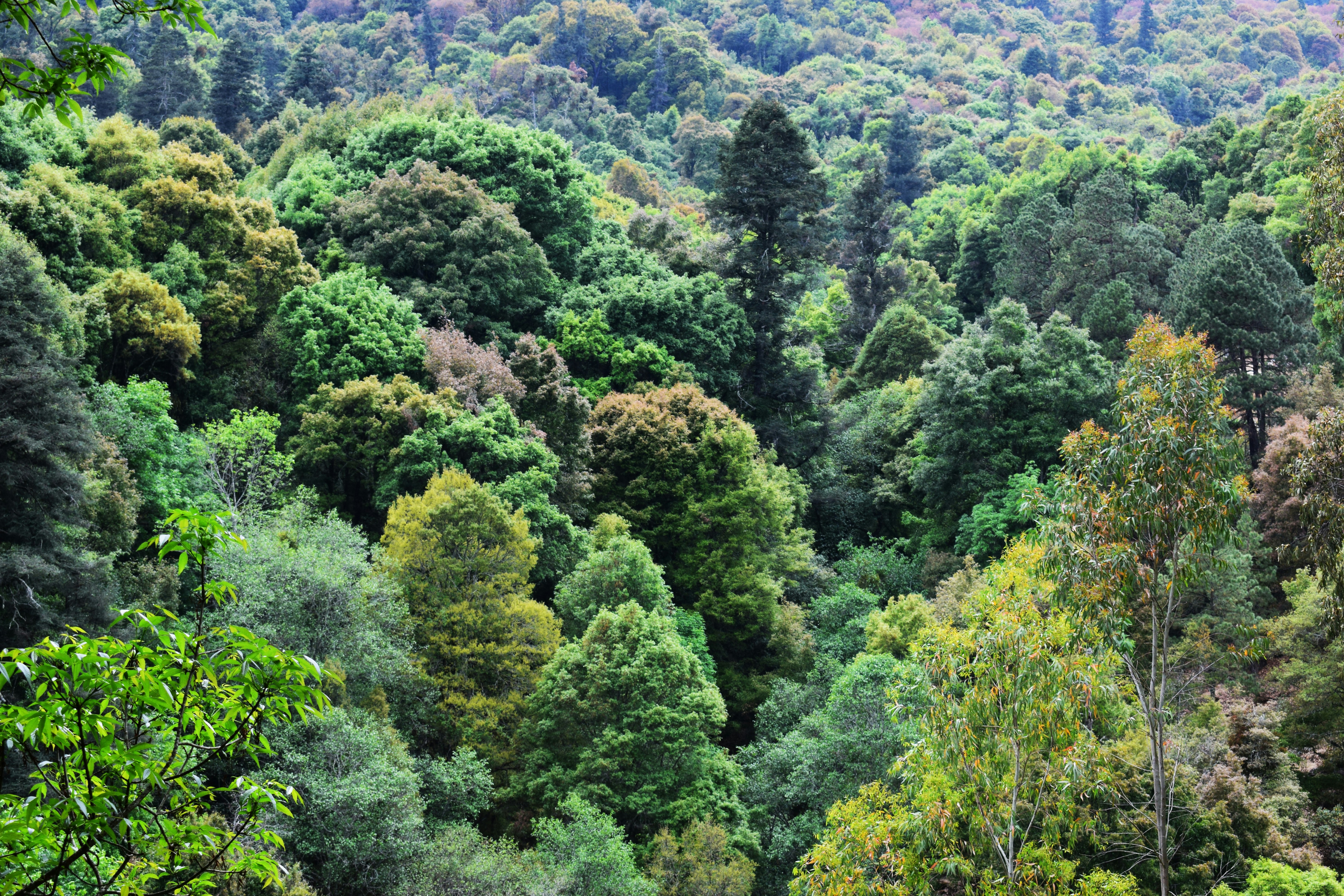
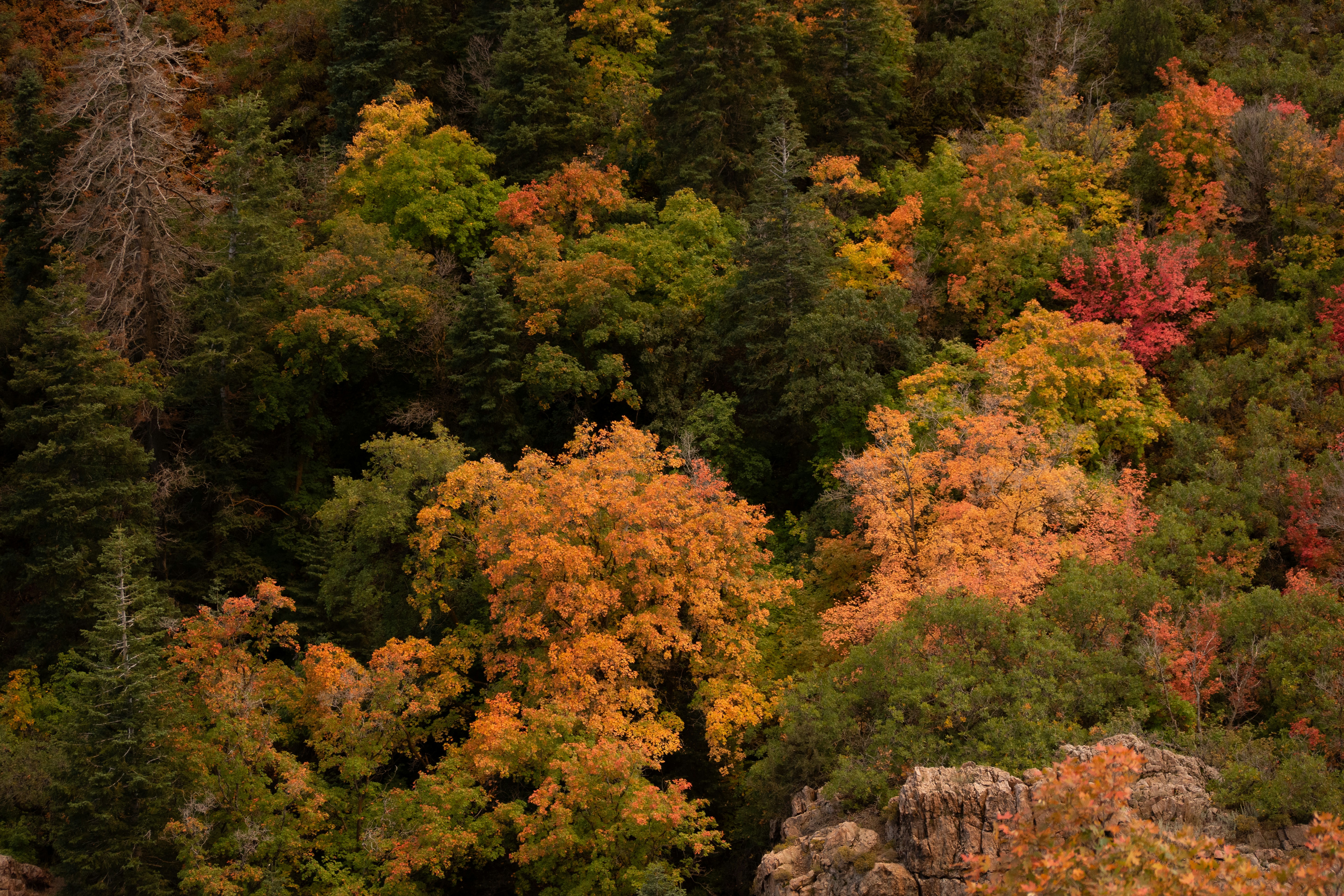
Wide aerial view of protected hardwood forest canopy in Eastern Kentucky at dawn showing morning mist through trees
The next step

See what conservation could
look like on your property.

Enter your parcel address and get a free, no-obligation conservation assessment — what's at risk, what your neighbors have protected, and what a Steward easement could mean for your family.

No obligationCompletely confidentialFree assessmentResponse within 2 business days